Using the USDA Plant Hardiness Zone Map for Florida Yards
The USDA Plant Hardiness Zone Map can help you judge whether a perennial is likely to survive winter in a Florida yard, but it cannot tell you everything about when or where to plant. The key is to use the map as one clue, then factor in your region, local cold exposure, soil, sun, and the plant’s needs.
What the USDA Plant Hardiness Zone Map tells you
The USDA Plant Hardiness Zone Map groups areas according to their average annual extreme minimum winter temperature. In practical terms, it offers a broad way to compare how cold winters typically get in different places. A plant described as hardy in a particular zone may be more likely to survive winter in a place that falls in that zone or a warmer one.
That makes the map especially useful for considering trees, shrubs, and perennial plants that remain outdoors from year to year. Winter cold can kill a plant outright, damage its stems, or harm roots and buds. A zone label gives you a starting point for assessing that risk before you buy or plant.
The map does not show the coldest temperature your yard will ever experience. Its zones represent averages, not guarantees. An unusually cold winter can bring temperatures below the typical range for an area, while a mild winter can stay warmer. The conditions at a particular home may also differ from the broader mapped area.
Zone labels are divided into main zones and smaller subdivisions. The subdivisions distinguish areas with somewhat different winter minimums within a broader zone. When comparing a plant label with your location, check the full zone designation rather than relying on the larger number alone.
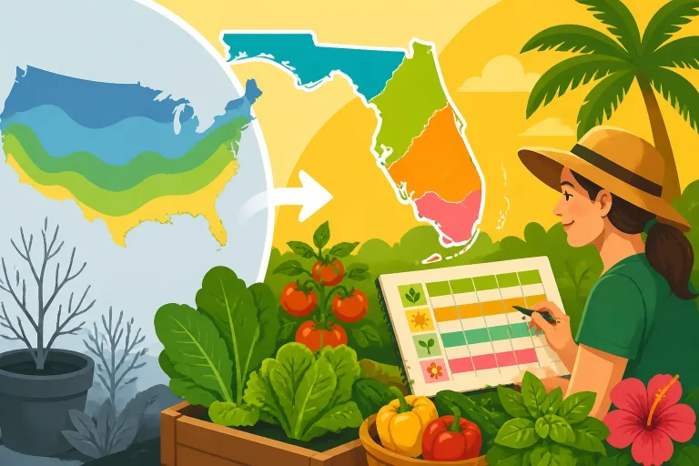
The map is also not a planting calendar. It does not tell you when to sow vegetables, whether the soil is warm enough for a crop, or how long a plant will take to mature before summer heat. For those decisions, Florida’s regional seasons and local weather patterns matter more. Why Florida Vegetable Timing Relies on Region Over Hardiness explains why the same zone label does not mean the same planting schedule throughout the state.
| The map can help with | The map cannot tell you |
|---|---|
| Comparing typical winter cold across areas | The coldest temperature your yard will ever reach |
| Screening trees, shrubs, and perennials for winter survival | Whether a plant will thrive in your soil, sun, or moisture |
| Spotting broad differences in cold risk | When to sow vegetables or transplant seedlings |
| Starting a conversation about plant hardiness | Whether a tender plant will survive a particular cold snap |
Treat a zone as a first filter, not a guarantee of success. A suitable zone does not automatically mean a plant is well suited to Florida’s heat, rainfall, humidity, sandy soils, or seasonal swings. Likewise, a plant that is slightly outside the recommended zone may still be grown in a protected spot, but it may need more attention during cold weather and could be lost in a severe event.
How to read the map for a Florida yard
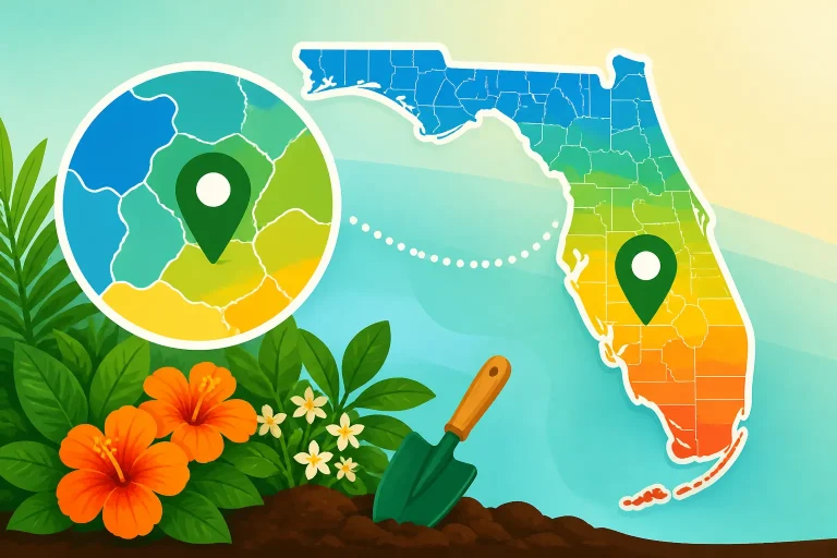
Begin with the map’s location search or map view, then zoom in around the address or general area you want to understand. Use the result as an estimate of the mapped zone for that location, not as a precise prediction for every part of the property. A ZIP code can include varied local conditions, and even nearby yards can differ in how they collect or lose heat.
It is useful to check more than one view when the result seems surprising. Look at the map around the neighborhood, nearby inland or coastal areas, and the broader region. Zone boundaries are not property lines, and a small difference in the map should not be treated as a sharp boundary between plants that will thrive and plants that cannot survive.
If you are using a nursery tag, seed catalog, or plant database, compare its hardiness range with the zone shown for your area. Check that the plant information is describing winter hardiness, not heat tolerance or a planting window. If the information gives a range, use the full range as a screening aid and consider whether the plant’s other needs fit the site.
A simple way to apply the map is to work through these steps:
- Identify the plant’s purpose. Is it a perennial, shrub, or tree expected to live outdoors through winter, or an annual vegetable that will be harvested in one season?
- Check the plant’s stated hardiness. Compare its listed range with the mapped zone for your general location.
- Assess the specific planting spot. Note whether it is exposed, sheltered, near a building, under trees, or in a low area where cold air may collect.
- Check Florida-specific guidance. Look for regional recommendations and information about heat, rainfall, drainage, and soil.
- Plan for variability. Decide what you will do if a cold snap is forecast, especially for plants near the edge of their recommended range.
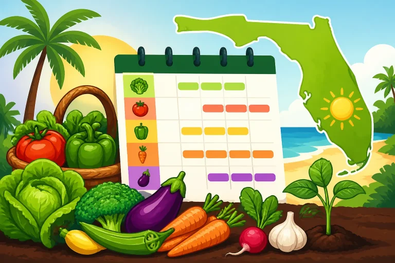
For edible plants, start with the crop’s growing season rather than its hardiness rating. Many vegetables are planted as annuals, so the important question is often whether the crop can grow and produce before conditions become too hot, too wet, or too cold. Florida Vegetable Planting Calendar: When to Grow Each Crop and What to Plant This Month Across Florida’s Three Gardening Regions can help you think about timing by region.
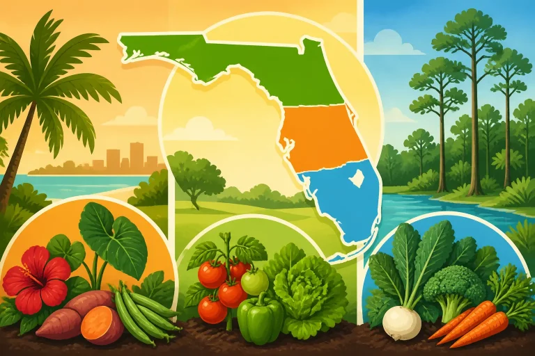
For trees and landscape perennials, the map may be more relevant, but it should still be paired with local information. Florida has regional differences in winter exposure, summer conditions, and growing season length. North, Central, or South: Finding Your Florida Gardening Map can help you identify the broader Florida region to use when researching plants and timing.
Why a mapped zone does not describe every yard
The zone map is designed to summarize broad patterns. It cannot represent all the small-scale differences created by terrain, nearby buildings, vegetation, water, and wind. Those differences are often called microclimates. In Florida, they can influence whether a plant experiences a brief chill, frost, or damaging cold, even when nearby map areas share a zone.
A yard beside a building may be more sheltered than an open garden bed. A wall can block wind, and the building may release some stored warmth overnight. A spot beneath a dense tree canopy may be protected from some sky exposure, while a low, open area can be more vulnerable to cold air settling. These effects are not identical in every yard, so observe your own property rather than assuming that one feature always makes a spot warmer.
Coastal and inland settings may also differ. Water and local geography can influence how quickly temperatures change, but the effect varies by location and weather pattern. Do not assume that every coastal bed is protected or that every inland bed will be colder. Instead, use the map for broad context and pay attention to what happens in your yard during cold nights. When Local Florida Microclimates Outweigh Mapped Zones offers more on why a property can behave differently from the mapped area around it.
The map also does not show the duration of cold. A short dip in temperature can affect plants differently from a longer cold period, and wind, wet soil, plant age, and recent growth can influence damage. A new planting may be more vulnerable than an established plant with a healthy root system. Tender new growth can also be damaged even when the plant itself survives.
These limitations matter most when a plant is close to the edge of its recommended hardiness range. If losing it would be costly or difficult to replace, consider a more cold-tolerant alternative, choose a sheltered planting site, or plan how to protect it when cold weather threatens. If you choose a borderline plant, treat the decision as a managed risk rather than assuming the map has guaranteed its survival.
It is also important to separate winter hardiness from other kinds of adaptation. A plant may tolerate winter cold but struggle in high summer heat. It may be hardy in the zone listed on its tag but need better drainage than your yard provides. A perennial can survive winter yet flower poorly if it lacks the light or growing conditions it needs. Hardiness is one part of plant suitability, not a complete verdict.
For vegetables, zone-based decisions can be especially misleading. A vegetable may handle a brief cool period but perform poorly through prolonged heat or heavy summer rain. Florida planting calendars account for seasonal windows that a winter-minimum map was not designed to show. Beyond USDA Zones: Using Regional Florida Garden Calendars covers how regional calendars complement the map.
Use the zone as one part of a planting decision
A good planting choice combines several questions: Is the plant likely to tolerate winter cold here? Does it suit the local growing season? Can the yard provide the right sun, drainage, and moisture? Is the plant appropriate for the intended space and level of care?
For landscape trees and perennials
Start by checking the plant’s hardiness information, then compare it with your mapped zone. Next, confirm that the plant is suitable for your Florida region. Look at its mature size, sun requirements, moisture needs, and drainage preferences. A plant that passes the hardiness check but needs conditions your yard cannot provide may still struggle.
Think about the exact spot before planting. An exposed bed may face more wind and cold than a protected area near the house. A low place can hold cold air or remain wet after rain. A sunny site can have different conditions from a shady one, both in winter and during the long warm season. If you are unsure, observe the site through different weather rather than judging it from a single visit.
For large or long-lived plants, consider the consequences of a poor match. Replacing a small annual is relatively simple; replacing an established tree or large shrub takes more time and effort. When the plant is near the edge of its stated hardiness, choosing a more reliable option may be the sensible trade-off. Florida Planting Zones: Choosing Plants Adapted to Your Zone can help connect zone information with plant selection.
For vegetables and seasonal crops
Use the map as background information, not as the main schedule. Identify the crop’s preferred growing conditions and the planting window for your part of Florida. Then work backward from the expected harvest period, allowing the crop enough time to mature before heat or cold becomes a problem.
The timing can vary by crop and by growing method. Direct-sown seeds, indoor-started seedlings, and purchased transplants do not all begin at the same stage. Soil temperature, forecast conditions, and the length of time until harvest can matter more than a landscape hardiness zone. Direct Sowing vs Starting Transplants for Florida Garden Crops explains how to choose a starting method, while Matching Florida Crops and Sowing Dates to Your Local Region focuses on matching crop timing to regional conditions.
For a vegetable bed, keep notes on what you plant and when. Record whether seeds germinated, how the crop handled heat or cold, and when you harvested. Those observations will not replace regional guidance, but they can help you adjust future planting decisions for your own yard.
For plants that may need cold protection
A map cannot predict a particular cold night. If a tender plant is in the ground or in a container, watch local forecasts when cold weather is possible and decide in advance what you can protect. Containers may be moved to a more sheltered location; plants in beds may need appropriate covering or other protection suited to the plant and conditions.
The right response depends on the forecast, plant type, and site. A zone label alone is not enough to determine whether protection is needed. Avoid treating a past winter’s outcome as a guarantee for the next one. How to Protect Florida Garden Beds Ahead of an Overnight Freeze provides practical preparation steps, and Does a Warmer Hardiness Zone Stop Florida Freezes? explains why a warmer zone does not eliminate cold risk.
When the forecast is uncertain, prioritize plants that are tender, newly planted, or especially valuable to you. Keep track of which parts of the yard tend to be most exposed or most sheltered. Over time, that local knowledge can make the map more useful because you will understand how broad regional information relates to your own planting sites.
Frequently Asked Questions
Does a Florida USDA zone tell me when to plant vegetables?
No. The map describes typical winter cold, not vegetable planting dates. Use a Florida planting calendar that accounts for your region, crop, and growing season.
Can a plant in my zone still be damaged by cold?
Yes. The zone is based on an average, not a guarantee. A colder-than-usual event, a vulnerable planting site, or the plant’s condition can affect the outcome.
Does the zone shown for my ZIP code apply to every yard in it?
Not precisely. A ZIP code or surrounding area can include different local conditions. Use the mapped result as broad context and consider the microclimate at your planting spot.
Should I choose plants only by their hardiness zone?
No. Also check heat tolerance, sun, soil, drainage, moisture, mature size, and suitability for your Florida region. A plant can be cold-hardy but still poorly matched to the yard.
Disclaimer
This article is for general informational purposes only and does not constitute professional advice. Laws, prices and regulations vary by location and change over time. Consult a qualified professional for guidance on your specific situation. Florida Gardening Guide is not a government agency and is not affiliated with any university extension, state department of agriculture or other government agency.